Let’s talk about this big walk that Michael and I did
Prep
At some point in late 2025, Michael approached me with an idea.
We were both interested in doing an ultra-esque adventure sometime in 2026, once my marathon training died down. He suggested that we backpack across San Diego county. A 156mi, almost JMT-length trip that takes most plebians 7-12 days. Here’s what Michael said when I asked how many days it would take us:
The route is (naturally) called “The San Diego Trans County Trail” (SDTCC). Part of its allure, and one thing I didn’t realize until doing some research, is that San Diego is the most biodiverse county in the continental US (damn you Hawaii!). It spans deserts, grasslands, chaparral, coastal marshes, you name it. So it felt fitting for us to tackle this challenge; we live here, and it’s time we explore everything the county has to offer.
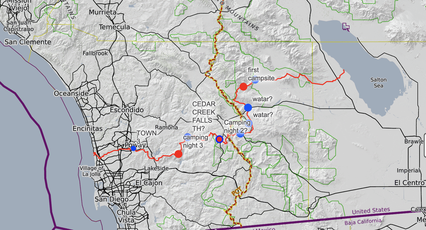
Image 0: SDTCC route (from FKT holder’s gpx data) on CalTopo. Looks kinda long.
Here was the plan:
- Day 1, start at Salton Sea after sunset and hike through the desert at night to Borrego Springs. Rest in town during the day, and finish up the last few miles to Culp Valley Campgrounds just as it’s starting to get cool again. “42” miles.
- Day 2, Culp Valley to Lake Cuyamaca. There’s a single restaurant nearby that closes at 5pm, so we hoped to get up early and speedrun this day to make it to the restaurant before dinner. “41” miles.
- Day 3: Our rest day! A nice, casual “28” miles. Leave the lake and hike past Cedar Creek Falls, through some bushwacking in the Four Corners area, and to the base of El Cajon. Mentally prepare for the big push the last day.
- Day 4: Bushwack up the wrong side of El Cajon for breakfast. Book it out of there, stop briefly in Poway, and then make our final push for the beach. “45” miles.
Seems simple enough. Just walk at the average human walking speed, 2.5-3mph, all day. Every day.
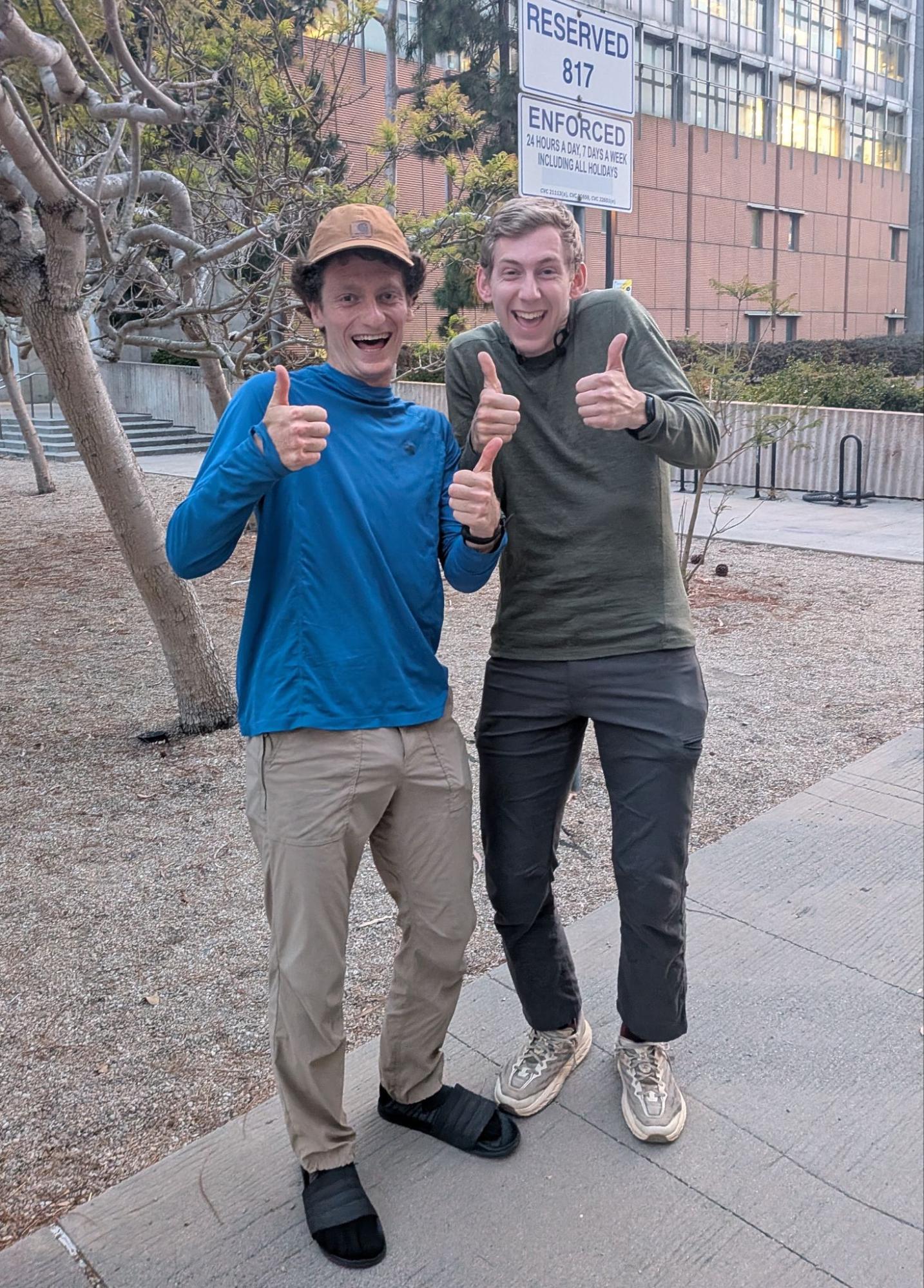
Image 1: Two naive fools captured in their natural habitat. Pre-walk.
Day 1 (~47.5mi)
Michael’s partner Emily was kind enough to drop us off at Salton Sea on the night of Saturday, March 28th. It was a strange sight for sure; to an onlooker, it would’ve appeared as if she had just kicked us out of her car and abandoned us in the middle of the desert (which, to be fair, was pretty much exactly what we’d requested). We waved goodbye as she drove off into the night, leaving us alone in the dark with the stench of rotten eggs emanating from the Salton Sea. We had to get home.
 Image 2: The *nearly* full moon (literally the only thing I could take a picture of during night 1)
Throughout the night, spirits remained high due to a combination of good chats, music, and Rockstar energy drinks. Still, the walk was monotonous, with nothing much to see besides the moon. Also, most of the sand on the path was extremely loose. We found ourselves sidewinding along the trail in search of patches of packed sand to give ourselves a break.
Around 4am, we ran (literally!) into our first wildlife encounter: a rattlesnake. We had been going a while without hearing anything besides our footfalls, so a sudden rattle in the dark scared the shit out of me. From the sound of Michael’s yelp, I think it scared him too. We took a nice, wide path around the snake before continuing on the trail. We abandoned our built-up night vision and turned on our headlamps for the sense of security.
Soon after sunrise, we had exceeded a marathon (only 5 more to go!), and Borrego Springs was in sight. Unfortunately, Michael started slowing down significantly, with ‘bizarre spasms and foot pain he had not experienced before’. But, with the power of the Rocky theme music, we were eventually able to hobble into Borrego Springs by late morning.
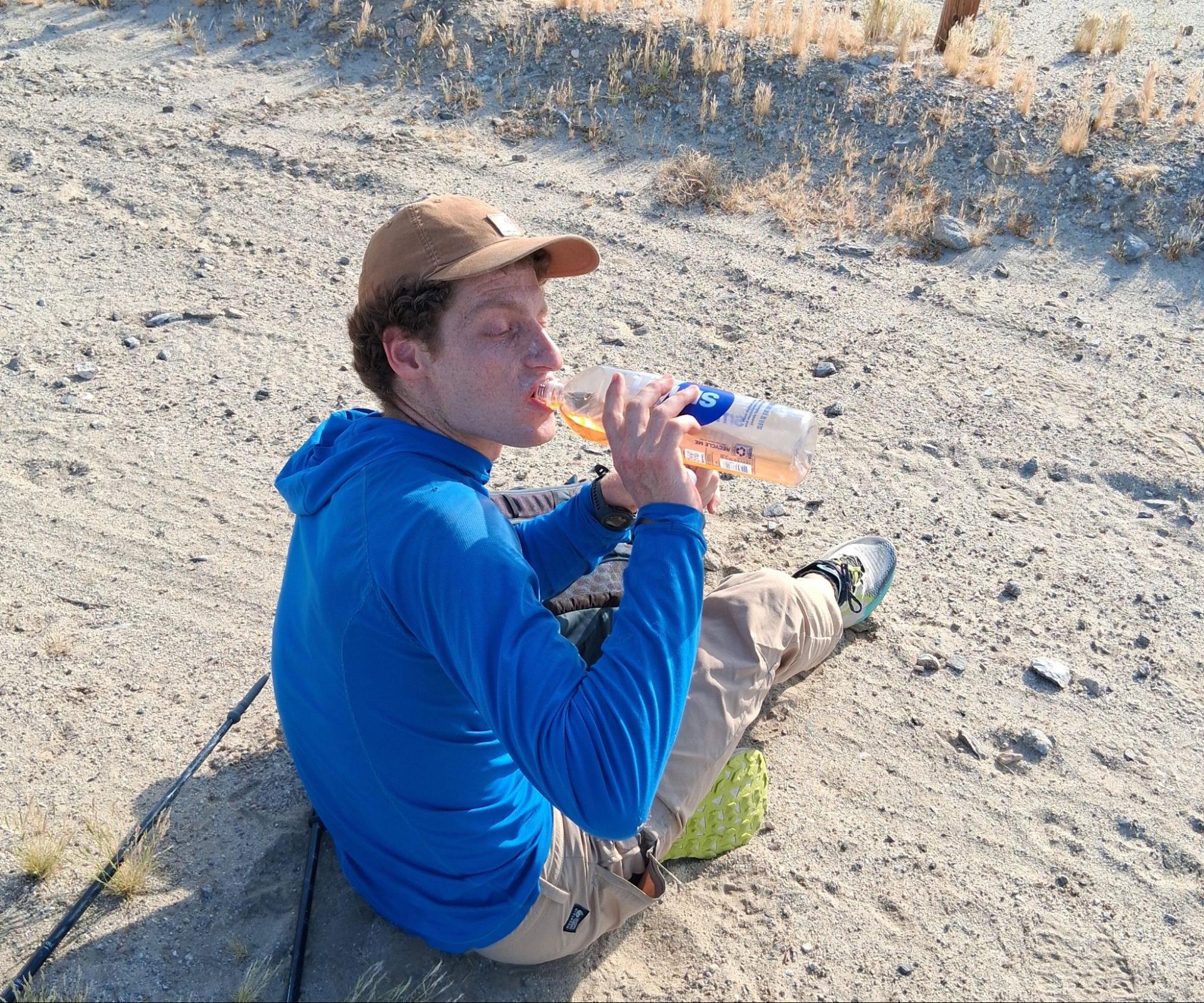
Image 3: Michael resorts to drinking his own pee Rockstar Energy after only a few hours in the desert. He looks really dehydrated…
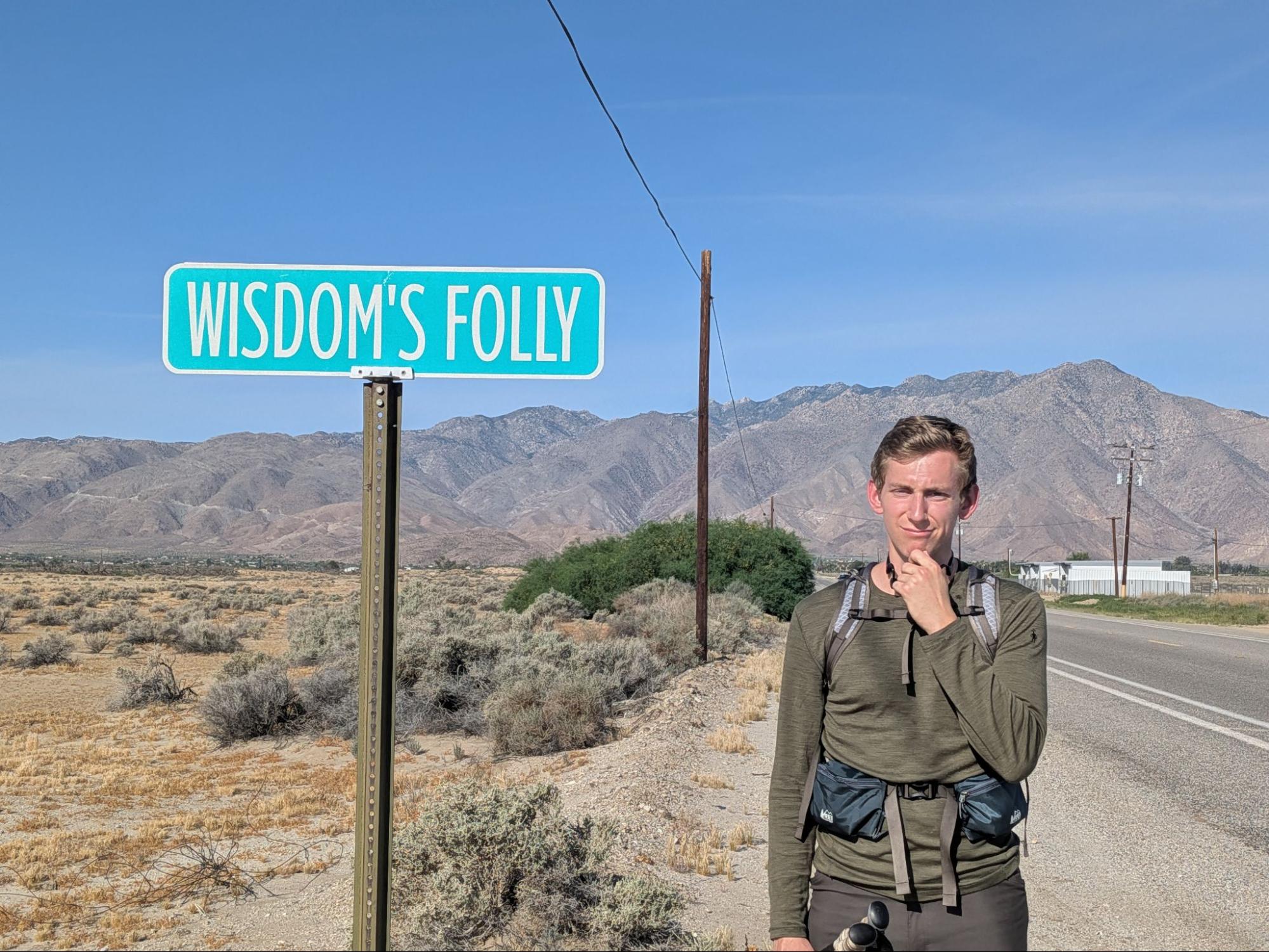
Image 4: Chesson rethinking his life choices on the way to Borrego Springs.
We refueled with a delicious diner-style breakfast and began searching the tiny town for a place to rest for the daytime. We noticed a public library on concrete stilts about four feet off the ground. The sand underneath was clean, nicely packed, and shaded. We rested for about six hours before leaving the town with our spirits high. Michael’s feet had recovered significantly (he asserts that this is his superpower), and I was done pretending to be homeless. Desert math rock served as our accompaniment during our ascent into Culp Valley.
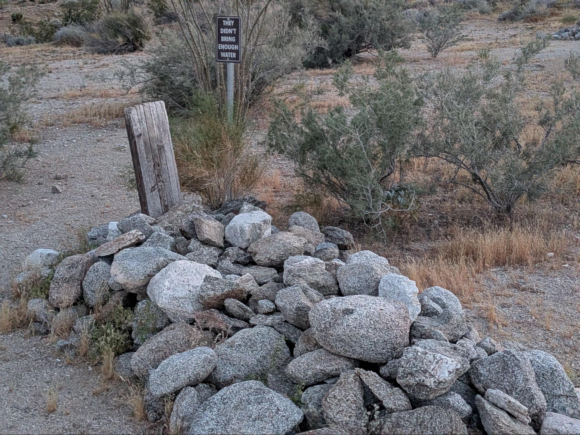
Image 5: A bad omen on the ascent to Culp Valley (in more ways than one).
In fact, things were going so well (and the navigation seemed so obvious), that neither of us had considered checking the route gpx for the last few miles. For no reason in particular, I checked anyways and saw that we had gone over a mile in the wrong direction. We’d need to descend and restart our climb on the correct trail to Culp Valley. And it had just gotten dark.
Things only got worse from there. As we began reversing our missteps, Michael ran directly into a cactus while checking the map. As he hopped maniacally on one foot, a familiar rattling sound could be heard from that very cactus. Yelping and hopping backwards on one foot, Michael put as much distance between himself and the cholla as possible. He spent the next twenty minutes very very quietly extracting half a dozen needles from his shin.
An hour before midnight, we made it to Culp Valley. I had become weary after hours of focusing intently on my headlamp’s light to avoid another cactus-rattlesnake situation. Since we were committed to giving ourselves a full night of rest each night, we abandoned the following days’ plan to make it to Cuyamaca at a reasonable hour. Now, we assumed we’d arrive after sunset.
Day 2 (~44.5mi)
It really is amazing what a good night of rest can do.
We awoke on day two feeling refreshed, confident, and ready to resume talking to each other. The first few miles flew by, but quickly we realized we had a new problem.
We didn’t leave quite enough water to fully resupply at Culp Valley (we each left with three liters, rather than the intended four), and while there were a few spots which might have had water before Cuyamaca, nothing was guaranteed. Also, apparently we would be descending back into Anza Borrego for much of Day two (whose idea was that??) meaning we would have to ration with care.
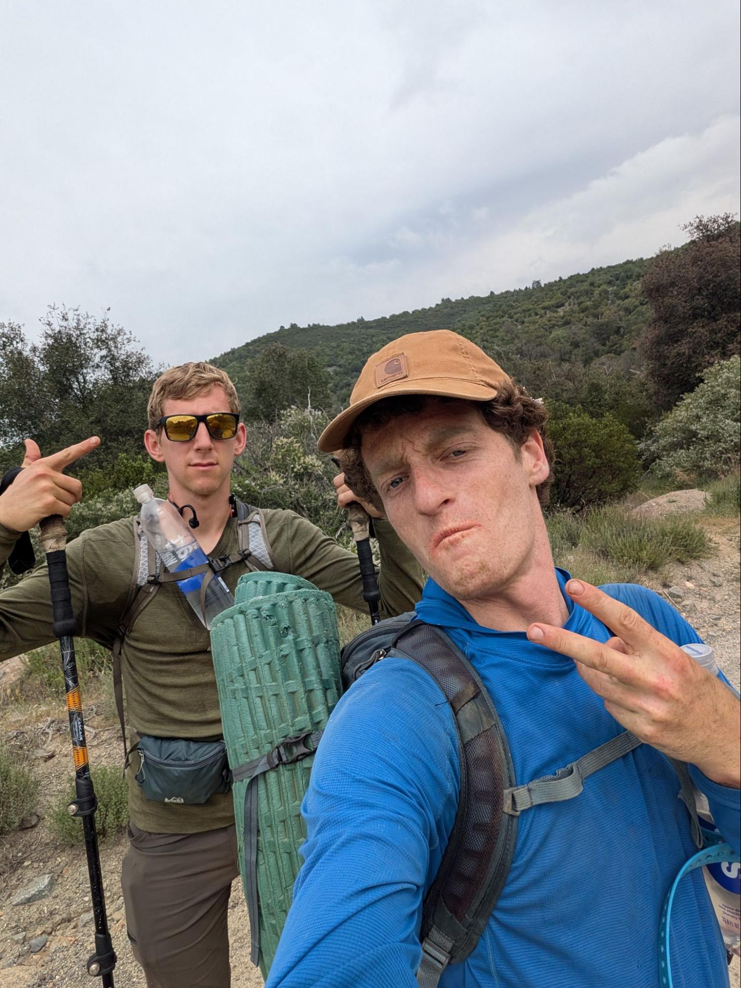
Image 6: Chesson and Michael feeling confident after only having done a day hike.
By early afternoon, water stores had gotten low, (~1.5L each), and we realized it would not be a good idea to push it, especially during the hottest part of the day. We found a shaded area by a road crossing to rest, and Michael got the attention of a driver who, luckily enough, had a massive store of water in his van!!! We refilled our stores, cameled up a bit, and were on our way. Thank you, kind stranger with a dog.
Soon after, we took a stop at the Stagecoach Trails RV park… and what a stop it was. Real sandwiches, water refills, cold drinks, and popcorn; what more could you want? Plus, we got to meet some Pacific Crest Trail hikers. Once again, our motivation had been restored, and the next section flew by.
Unfortunately, as will be a recurring trend, once it got dark, our spirits fell. By nighttime, it became clear how much time we’d lost that day and how much our pace had slowed. Getting to Cuyamaca by midnight now seemed like an impossibility, and even 1am would be a stretch.
We did meet some amphibious friends in that final push to the lake, though, which made it all worth it. On the last bridge crossing before arriving at our campsite, a cacophony of croaks welcomed us in, denoting the halfway mark on our journey.
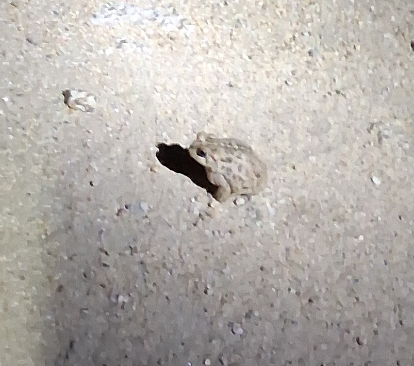
 Image 7: It’s frog o’clock baby!!!
Day 3 (~30.5mi)
This is when shit got real.
Of course, since we didn’t arrive at Lake Cuyamaca until 1:30am, and we had agreed to take a full night of rest, our departure time the next morning was seriously delayed. Like, 10:30am delayed. But, we only had thirty miles to cover, right? How hard could it be?
As it turns out, residual fatigue is indeed a thing. Just because you can do a 40mi day, that doesn’t mean you can do four of them back-to-back-to-back-to-back. For us, this meant extra stops for foot care/general rest.
Still, we kept the vibes high. Michael told me about the storied history of climbing in the US. We jammed to some bangers (Olivia Rodrigo, Avril Lavigne, Maroon 5, and more). All was good on our way to the Cedar Creek Falls trailhead.
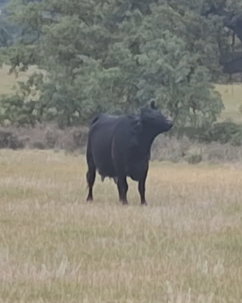
Image 9: Wildlife action shots on Day 3. Apparently, pigs are scared of the Rocky theme, but cows love “Unwritten”.
Spirits only got higher once we arrived at Cedar Creek Falls, as the pizza we had ordered to the trailhead had arrived! As soon as we had finished cleaning ourselves up a bit and refilling our water, it was pizza time.
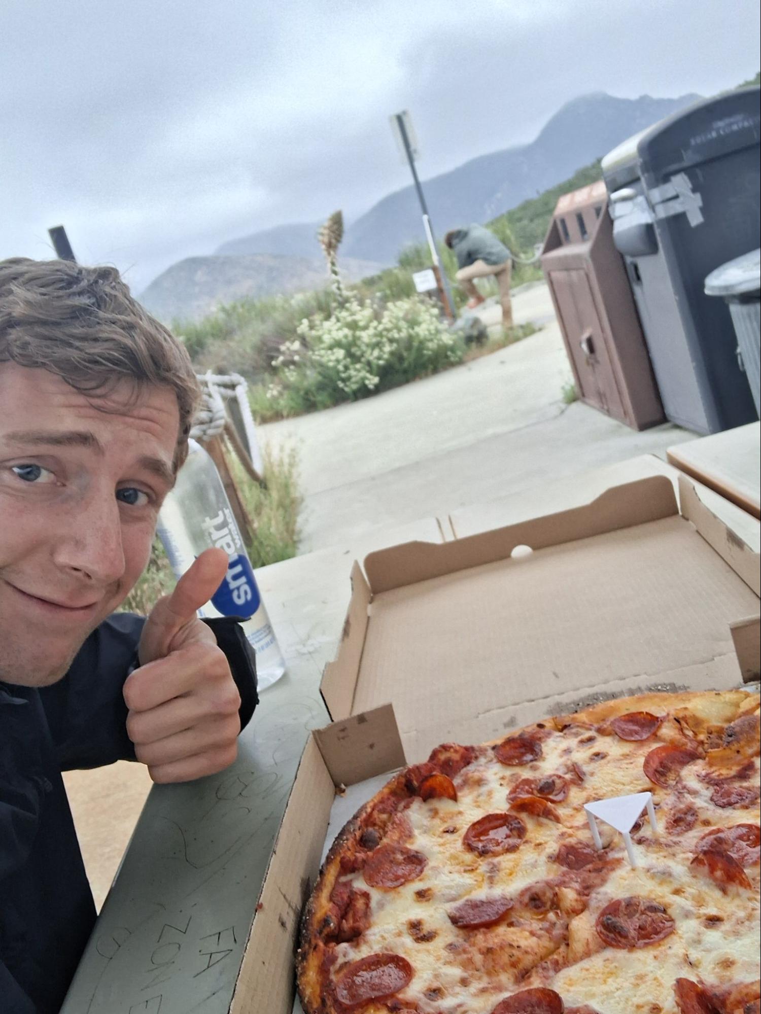
Image 10: Nothing makes me hungrier than watching Michael wash his feet…
Then came the first real bushwalking of the trip. We were to shwack our way past “Four Corners”, a region known for friendly doggos and socialist property laws. Ok, not really. They’re very protective of their property and have unleashed dogs and fully automatic weapons to “defend” them. Gotta love America.
Still, we had done this section before, during a practice hike, without too much trouble. The key was to follow the gpx path (all hail the red line!) to dodge property boundaries. Michael and I were quite the dynamic duo when it came to this type of navigation.
But nothing came easy. Within thirty minutes, we were chased off of our dinner stash by the aforementioned friendly doggos, meaning we literally ate peanuts for dinner. Sad.
The other issue was that it had just gotten dark. While navigation was workable in the dark, the real problem was the locals. Our headlamps projected our location to all of them, and they were not too keen on nighttime passers-by.
Two-thirds of the way through the bushwack, a spotlight hit us. A loud voice rang out, asking us who we were, and what we were doing. We responded as calmly as we could. I will never forget the next lines Michael said:
“Come to my voice.” - Scary Man
“Are you armed?” - Michael
“Yes.” - Scary Man
“…Are you going to shoot us?” - Michael
“Nah, dude, it’s chill.” - (Now not-so) Scary Man
The man walked over to us, massive assault rifle in hand, with his two Dobermans. The tall and moustached individual told us not to worry, that he had seen plenty of hikers through here, and that he’d actually done some through-hiking himself. He told us how to navigate through the last bushwack section, and we were on our way. I left the encounter conflicted, not knowing what to feel but strongly desiring to get home for the first time in days.
The next few hours to the base of El Cajon were a slog. Nothing interesting to report, we were just ready to be done. We arrived at the start of the bushwack, the real crux of the entire hike, around 11pm. We had fallen so far behind schedule that we knew that we’d need to summit tonight to have any chance at all of making it to Torrey Pines Beach by sunset the following day.
So, we started shwackin’ it. Another bushwack at night, yay!!! We had done this section before as well, and in worse conditions, so we figured we could crawl our way up to the summit in a couple hours, camp there for the night, and leave before a park ranger yelled at us. Michael activated his inner deer and began navigating like one. He asserts it was an ‘exhausting, out-of-body experience’. We made it about halfway up the mountain before Deer Michael stopped dead in his tracks.
In the bushes ahead were the glowing eyes of a mountain lion.
All of a sudden, we were not tired at all. We made ourselves big, smacked our poles together above our heads, and made loud noises all while keeping eye contact. Neither of us had encountered a mountain lion before, but apparently that’s what you’re supposed to do.
While slowly backing up, Michael noted a flat, protected rock formation that we’d seen just a few hundred meters back. We decided against moving on further that night, and set up camp against the rocks. We prayed that the mountain lion would leave us alone during the night.
It seemed that tomorrow would be a much longer day than originally intended…
Day 4 (40mi? 45mi? Who knows??)
Michael and I awoke without any further interactions with our furry friend, so that was good. On the other hand, the morning fog was incredibly thick. Navigation would be difficult, but we had no choice but to get started.
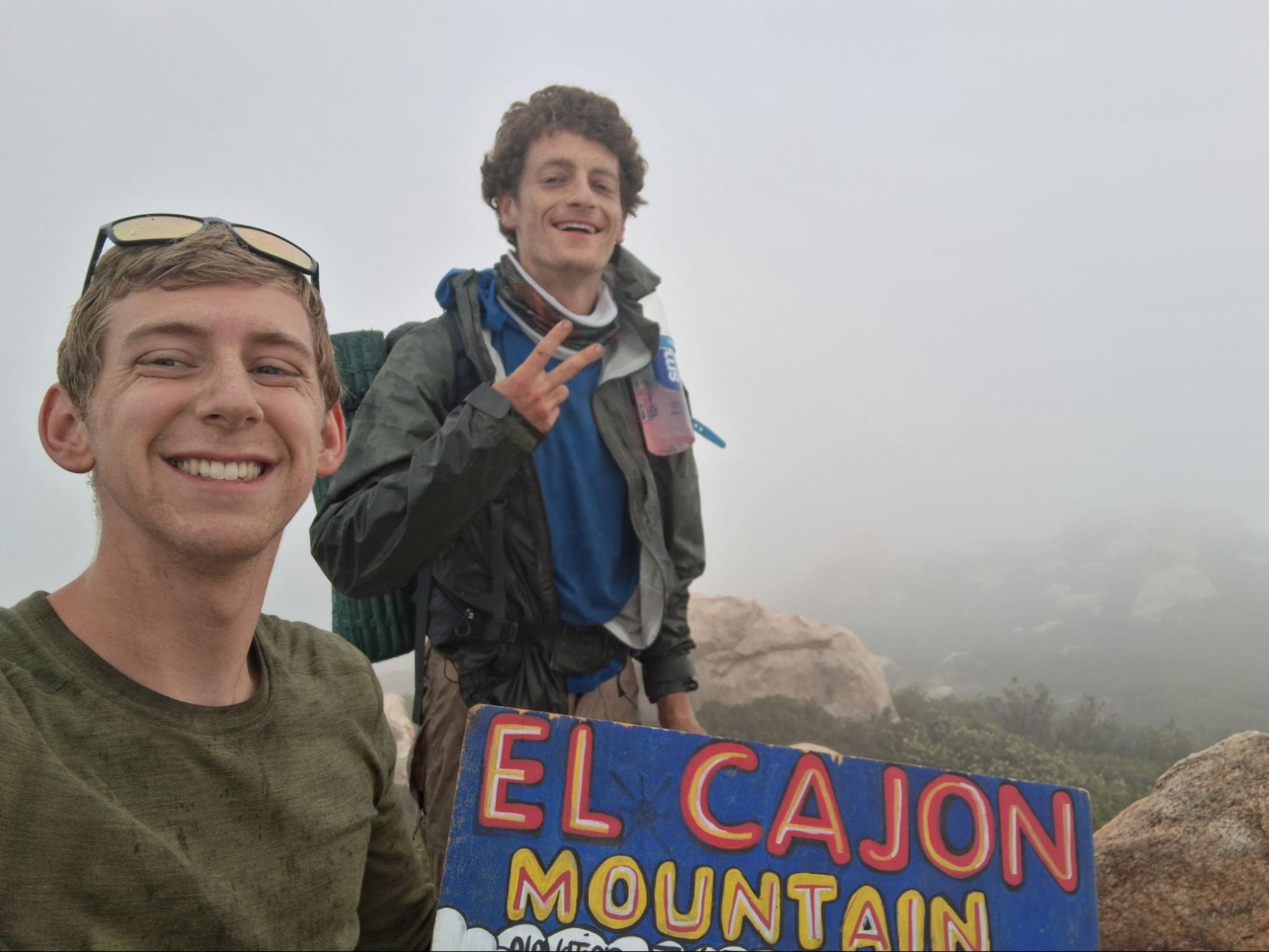
Image 11: The boys have become men.
While we did make it to the summit relatively quickly, a few realizations had now set in:
- We were not going to finish by any reasonable hour
- Our battery packs were out of juice, so not draining our phone batteries (our maps were all digital) would now be of paramount importance
We trudged down the mountain, eventually arriving at Wildcat Canyon Road, the location of our final stash, by around 11am. Since this would be the final push, we dropped everything we didn’t absolutely need next to our final stash: sleeping bags, sleeping pads, rain jackets, etc. We pretty much just held onto what food and water we would use.
Poway, our next stop, was still another 20 miles away. So on we went, slowly returning to some semblance of civilization for the first time in days. Several of our miles were on the sidewalks of main roads which connected longer trail segments.
In the early afternoon, we found ourselves on the edge of someone’s property line once again. This time, though, our GPS track seemed to charge straight through it. Exhausted and with no time to waste, we plowed through as well. I said a little prayer as we passed by a B-27 target which had been peppered with gunfire. Fortunately, we did not have another encounter with an armed stranger.
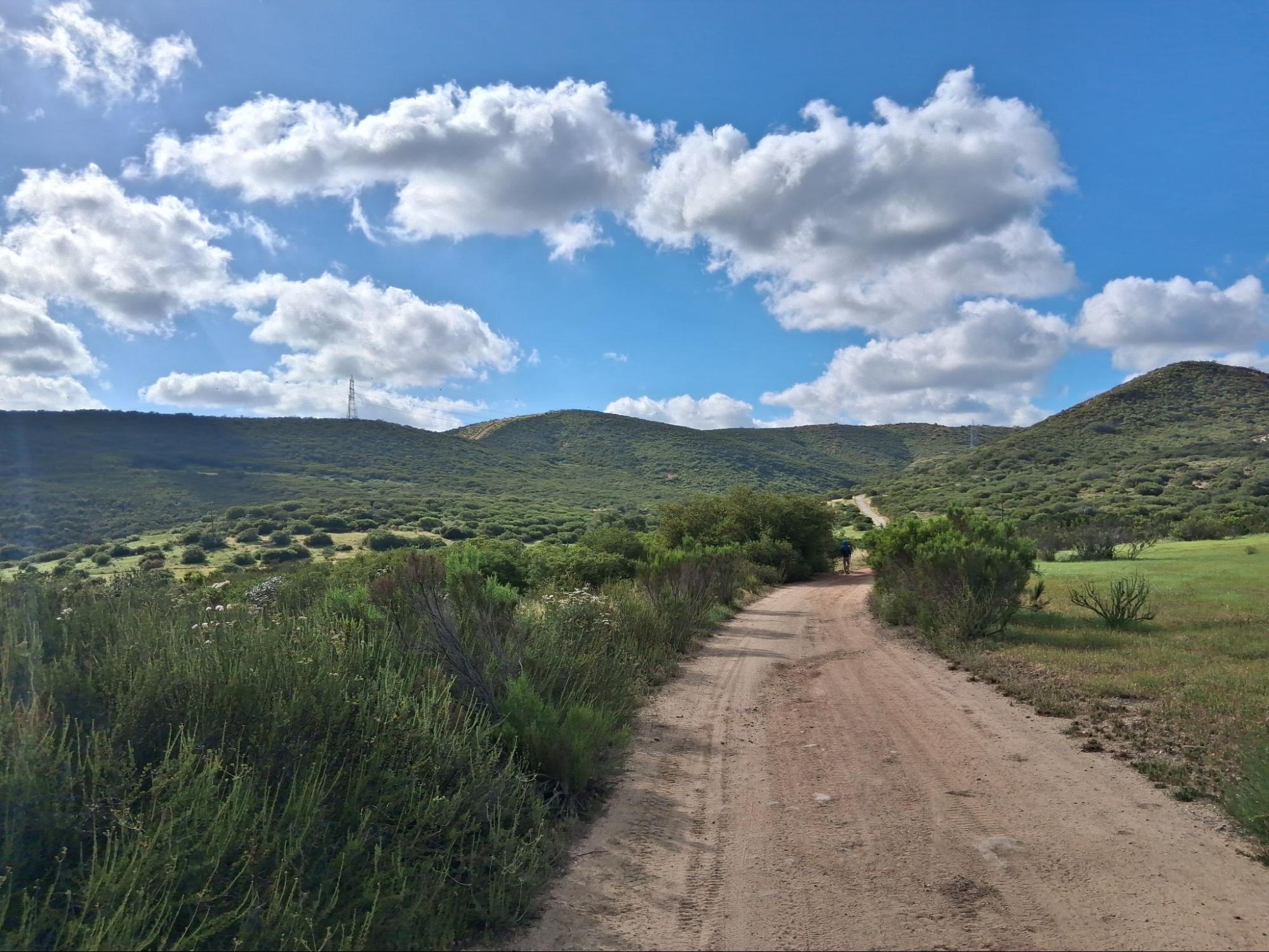
Image 12: Beautiful shot near Poway on our last day.
By the time we were only a few miles out from Poway, Michael’s phone had died, and mine was now dangerously low. As things were getting truly desperate, a kind cyclist approached us. He took one look at Michael, laying on his back and with his legs splayed up on a bench, and immediately asked if we were alright. We explained ourselves, and he was kind enough to give us directions on how to get into the city without wandering around on highways! Before we knew it, we had emerged into a Costco food court, which would be our sanctuary while we prepared our minds and bodies for the home stretch.
A kind woman gave us her Costco card to buy food (4 slices of pizza, 2 hot dogs, 2 large drinks, and 2 sundaes, if you must know), and after our feast, Michael laid some more while I went into the nearby Home Depot. With my newly purchased charging block, we could now recharge my phone enough so that it could get us home.
By the time we left Poway, it was already dark. And we still had 18 miles to go.
On the bright side, our spirits could not have been higher. Our bodies were broken, but we were determined. After just a few miles, we had entered Penasquitos Canyon, a familiar trail that really made it feel like we were back in San Diego proper. For the first time since the start of the trip, we even (occasionally) used an alternating walk/run strategy. We were flying.
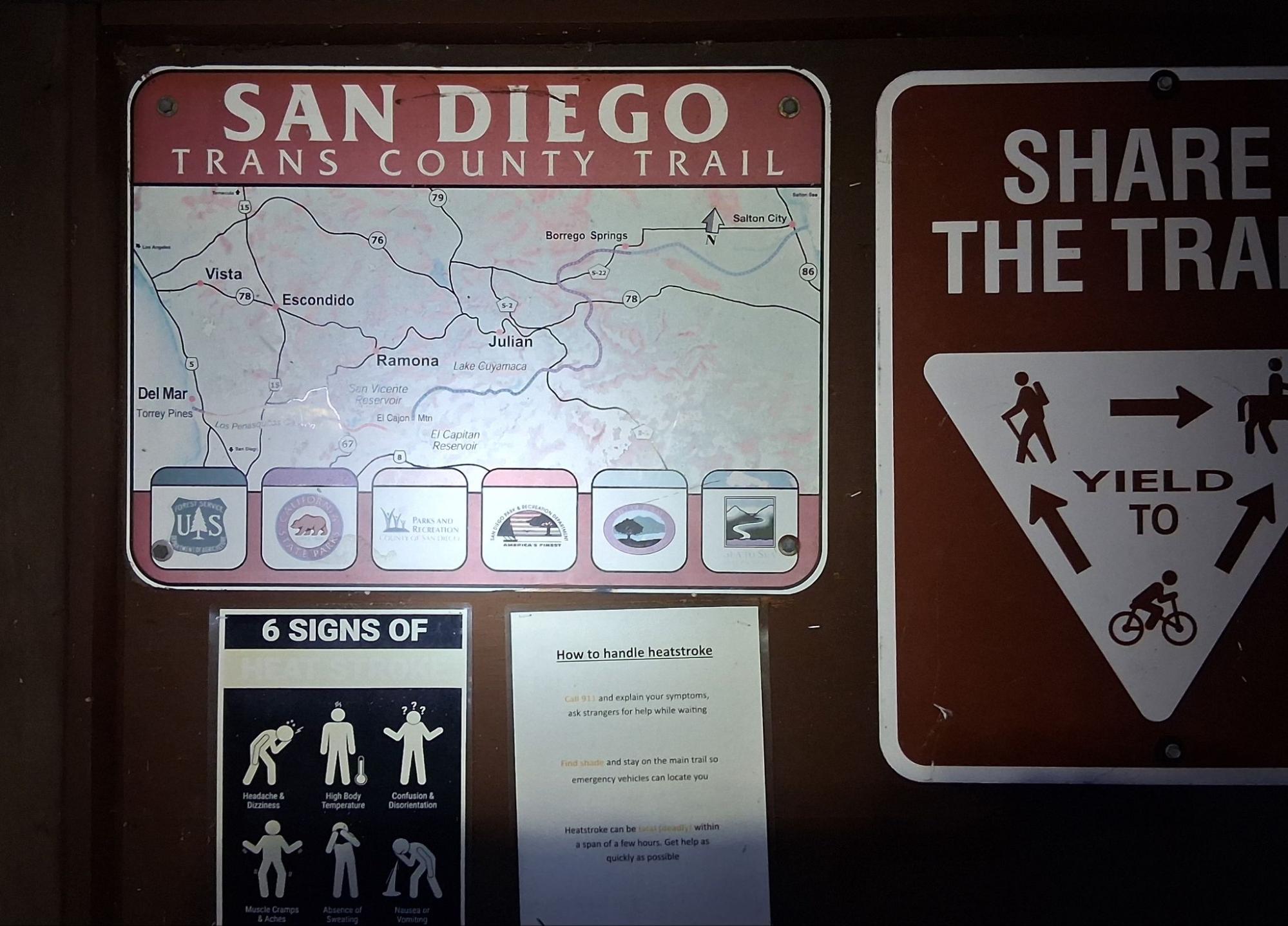
Image 13: Why are we advertising this trail?? I don’t think your average day hiker wants to trespass and/or bushwhack up El Cajon, guys…
At this point, it was around midnight, and we had a new goal: break 100 hours. Since we had started at 10:35pm on Saturday, we just needed to get to the ocean before 2:35am. Our pace quickened. We were not going to miss this deadline. The trail wove under bridges, past a Scooby-Doo-tier swarm of bats, and finally to Sorrento Valley.
Naturally, there was a tiny section of the “trail” that passed through someone’s property only two miles from the finish line. And at this point, it was almost 2am. We walked past without a hitch, and, once out of earshot, used the last of my phone’s battery for some inspirational tunes. It all culminated with one last playthrough of the Rocky theme.
At 2:18am, after a cumulative 99 hours and 43 minutes, we finally made it to the beach. We threw down our packs, touched the water, and immediately called an Uber home.
Time to recover for Ragnar in just 1 week!
Image 14: We did it.